
Google Map of LA Arboretum Plant Introductions
- Deborah Shaw

- Oct 6, 2012
- 1 min read
by Janice Sharp, posted by Deb Shaw
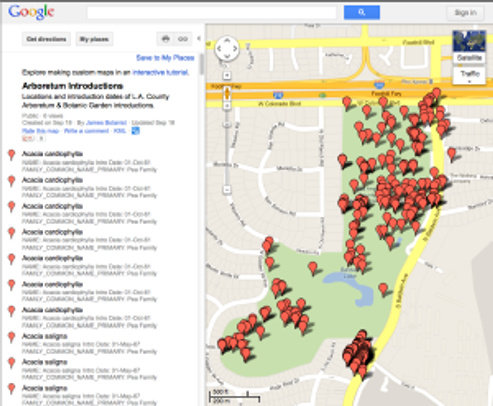
When you first click on the link in the story to the Google map of the locations of Arboretum introductions, this is what you’ll see; a list of all the plants with their locations as dots on the map. Click on “Satellite” view in the upper right corner of the map to see the information displayed over a photographic map.
For all of us who are painting the plants introduced by the Los Angeles Arboretum (or even those of us who want to find those plants from the list), we have a link to a Google map of the locations of Arboretum introductions throughout the grounds (thank you Frank!).
This this data is about five years old, so some plants from our list may be missing from the map, but it’s a great start. When you open the site, click on “satellite” view and zoom in. Then you’ll be able to see the paths and roads in the Arboretum, which will make it easier to find things and find your way around.
Questions? Contact Janice Sharp.
Happy painting!
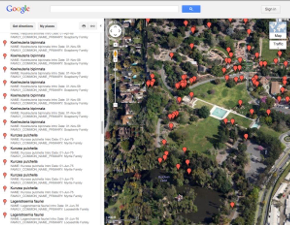
In the “Satellite” view, zoom in to see the roads, paths and familiar landmarks of the Arboretum grounds.
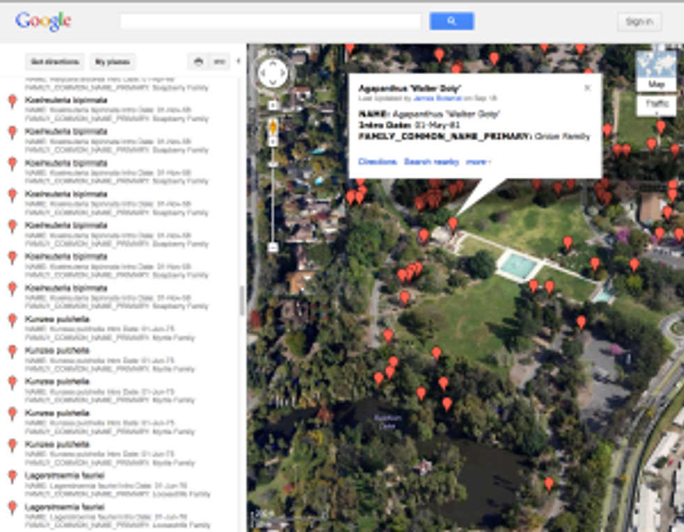
Click on the red pin marker next to a plant name you’re interested in, and the plant information will pop up on the map where the plant is located. Or, click on any red marker pin on the map, and the plant information will pop up there, too.


Comments